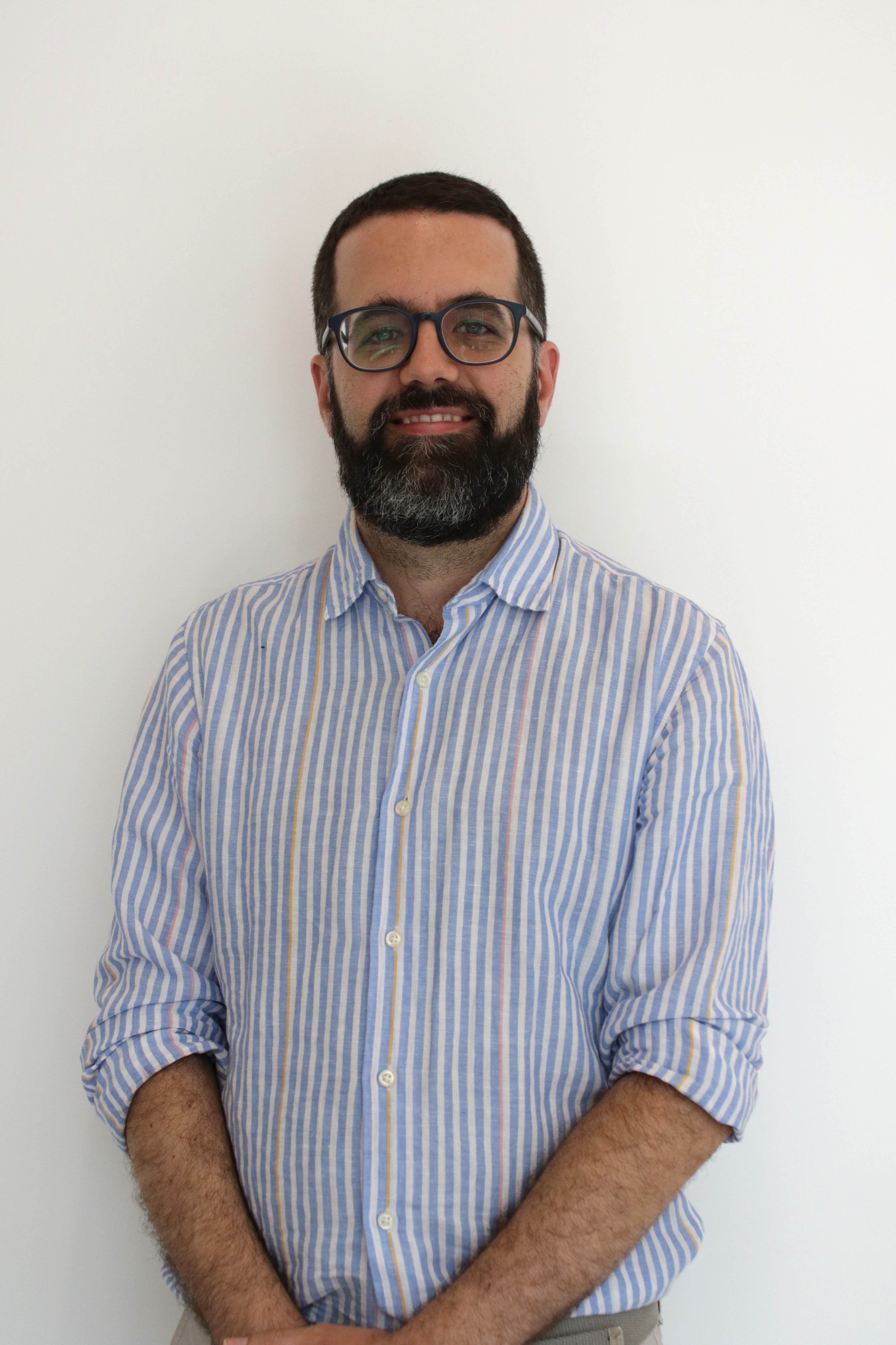
Architect from the Higher Technical School of Architecture of A Coruña, with specialization in Energy Efficiency of Buildings and Certificate of Professionalism in Teaching Vocational Training for Employment. His career combines more than ten years of experience in architecture, energy efficiency and technical management with a solid teaching vocation. He has worked in architecture firms and as an independent professional, developing projects, comprehensive renovations, energy certifications, audits and appraisals. In addition, he has served as a third expert for the Xunta de Galicia and as a judicial expert. In the training field, it has taught professional certificates and technical courses linked to building, civil works and energy efficiency.
Professional experience:
Architect in studios and as an independent professional: Measurement and writing of projects; Management and execution of comprehensive reform works; Energy certifications and audits; Energy efficiency improvement projects; Appraisals and judicial appraisals; Third expert for the Xunta de Galicia. Director — Casa Suárez, rural tourism establishment: Comprehensive management of accommodation for nine years; Management and maintenance of the Q for Tourism Quality; Implementation of continuous improvement and compliance with quality standards. Real estate advisor: Management of new and second-hand construction operations.
Professional skills:
Energy efficiency in buildings; Energy certification and audit; Technical representation of civil works and building projects; Real estate appraisal and appraisal; Tourism quality management; Scrum methodology applied to projects.
Languages:
English Certificate — Level B1.